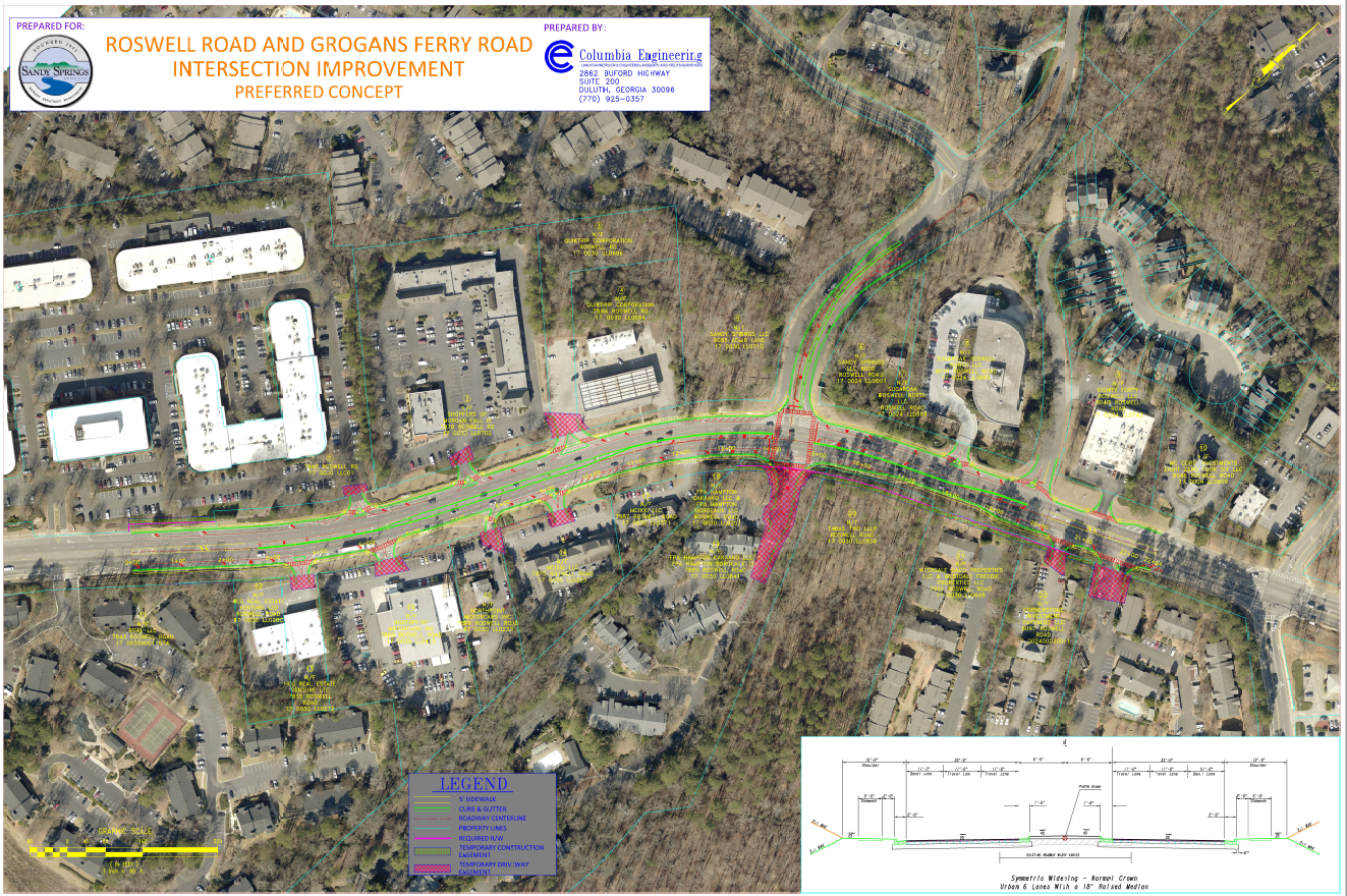
A city plan to signalize a dangerous intersection in Sandy Springs would also begin fulfilling a vision of Roswell Road as a “boulevard” with a partly grassy, tree-lined median.
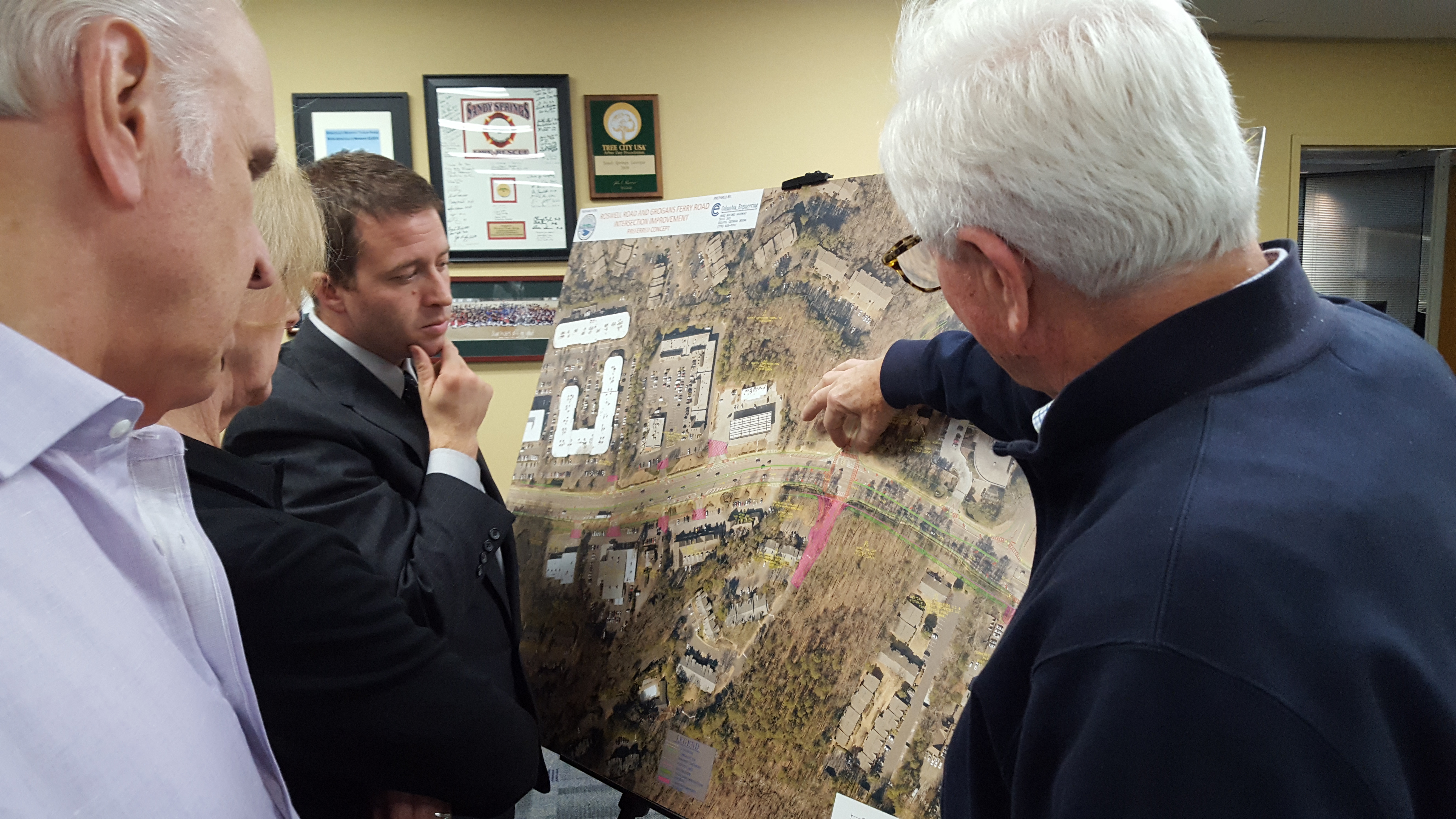
The plan for the Grogans Ferry Road intersection and a 2,000-foot stretch of Roswell Road to the north and south was presented to more than 20 residents at a City Hall open house Oct. 26. Response to the safety-driven plan — which is about two years away from any construction — was largely positive, as the intersection’s dangers are well-known, especially for left-turning vehicles. A total of 67 accidents were recorded on that stretch of Roswell in 2014 through 2016, officials said, with 27 within the intersection.
“My wife was almost one of those statistics” when her car was hit while turning onto Grogans Ferry, said one man who declined to identify himself.
Currently, the Grogans Ferry intersection has an unusual configuration: two separate, parallel lanes that fork in Y shapes to meet Roswell as four distinct lanes. For drivers on northbound Roswell Road to access Grogans Ferry, they must use a center turning lane, known in planning slang as a “suicide lane” for easily causing collisions.
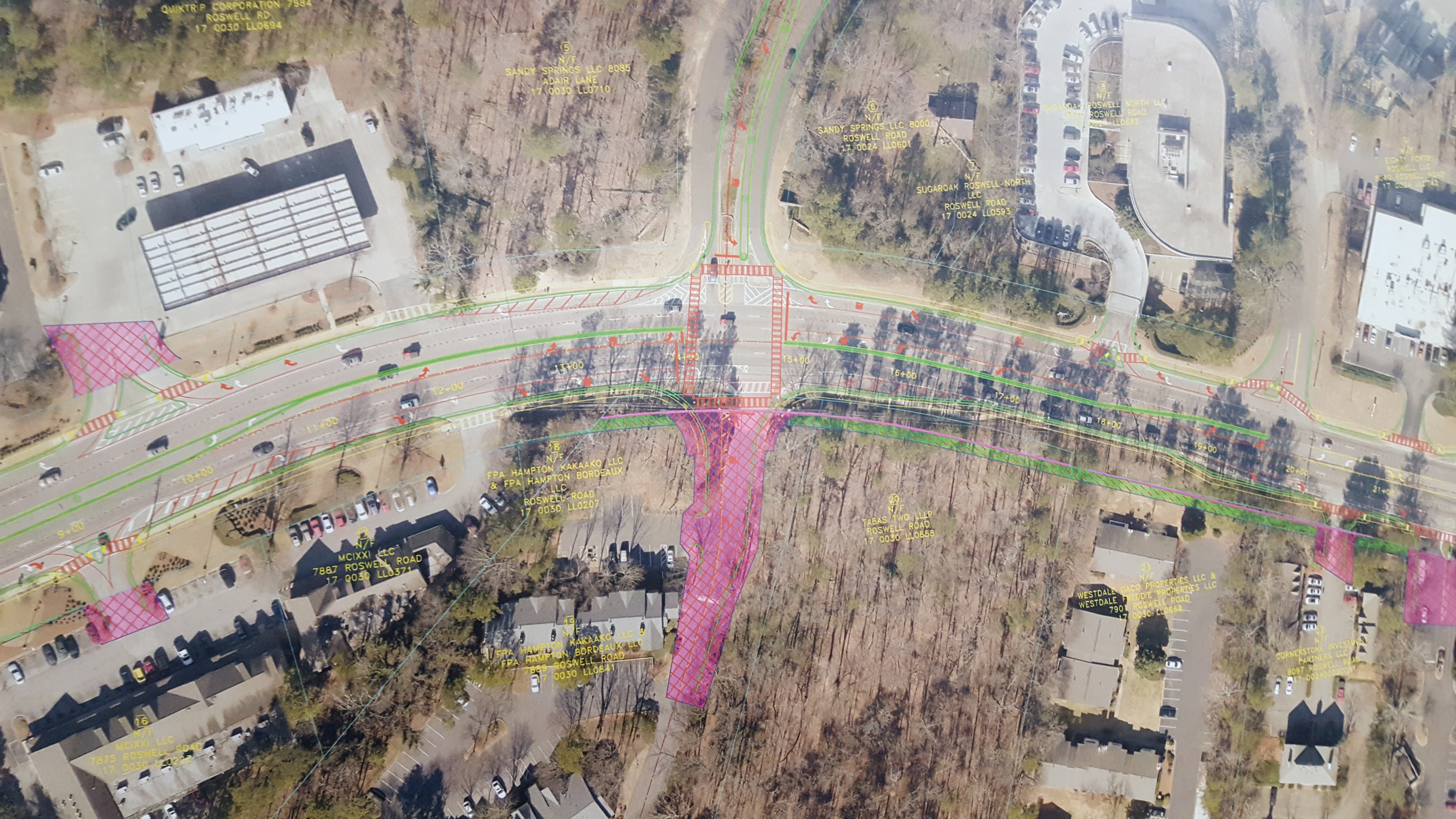
The city plan is to reconfigure the intersection and add a traffic light. Grogans Ferry would be narrowed and reworked into a more typical three-lane design. Across the street, the driveway for the Addison at Sandy Springs apartments, known as Hampton Drive, would be realigned to use the traffic light as well, a move requiring significant right of way easement or acquisition.
The plan also tackles car and pedestrian safety improvements on Roswell Road roughly between City Hall at 7840 Roswell and the Sandy Springs Gun Club and Range at 8040 Roswell. The fixes include adding turn islands and crosswalks at many driveways, and widening the travel lanes from 10.5 to 11 feet, which consultants say meets modern safety standards to avoid sideswipe accidents.

But the biggest change is replacing much of the suicide lane with a median or a more restricted lane allowing only left- or U-turns. Some parts of the median would be four feet wide and only concrete, but one section near City Hall would be six feet wide and planted with grass and trees.
Running a green median along much of Roswell Road is included in the city’s new “Next Ten” land-use vision document. City officials and consultants say two other intersection improvement projects, both in even earlier conceptual stages, could include similar Roswell Road medians: Dalrymple Road and Trowbridge Road. All three intersection plans are funded through the recent transportation special purpose local option sales tax, or TSPLOST.

Roswell Road is a state route, and the Georgia Department of Transportation is on board with the proposed lane, median and light changes, according to city TSPLOST Project Manager Steve Tiedemann.
“They’re good with it,” he said of GDOT.
The main reason for the traffic light is safety, officials said, but it might improve travel time on that section of Roswell Road as well by making vehicle flow more rational and create dedicated turn lanes.
“The devil’s in the details, but so far it looks very good,” said one of many attendees who made favorable comments.
One concern among attendees was finding some way to restrict cut-through traffic related to Ison Springs Elementary School on Ison Road, which intersects with Grogans Ferry roughly a half-mile from the Roswell Road end of the street.
The intersection project still has a long way to go. The city’s projected construction start date is late 2019 and work is estimated to take a year.
The city’s consultant is accepting public comments through Nov. 8 at rstrunk@columbia-engineering.com.
Let’s not cut the tall trees on the west side down. The east side looks more open.